
Comoros best time to visit: the seasons at a glance
The Comoros climate comes down to two seasons. The national tourist office (ONTC) describes a warm, humid period from November to May and a relatively drier, cooler one from May to October. Spain's foreign ministry puts the wet season at November to April. May sits on the border, so do not count on it being reliably dry.
These are archipelago-wide pointers. Grande Comore, Anjouan and Moheli have no recent official weather table each, and the summit of Mount Karthala is a different world from the coast at Moroni.
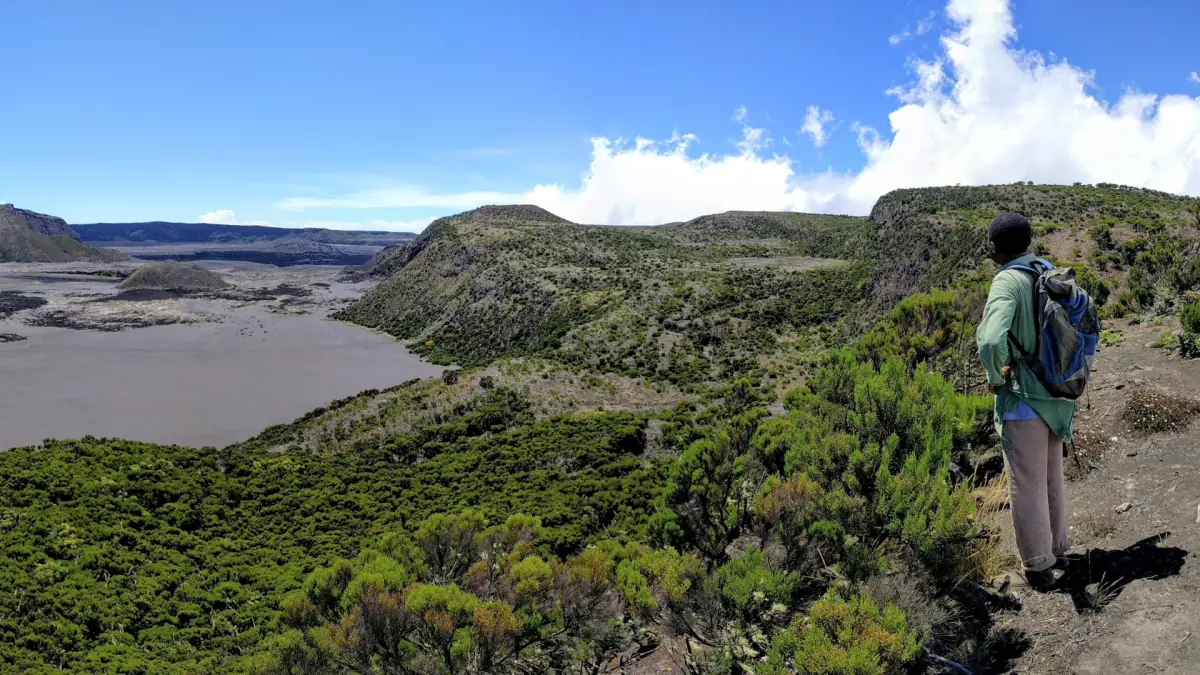
Our take: a hike to time carefully
For Karthala, check the season and conditions before you pick a date; this guided hike is booked by availability.
Hand-picked tours, booked through GetYourGuide. Prices are indicative starting prices in US dollars (as of October 2026). Tap a tour for live availability and the current price in your currency.
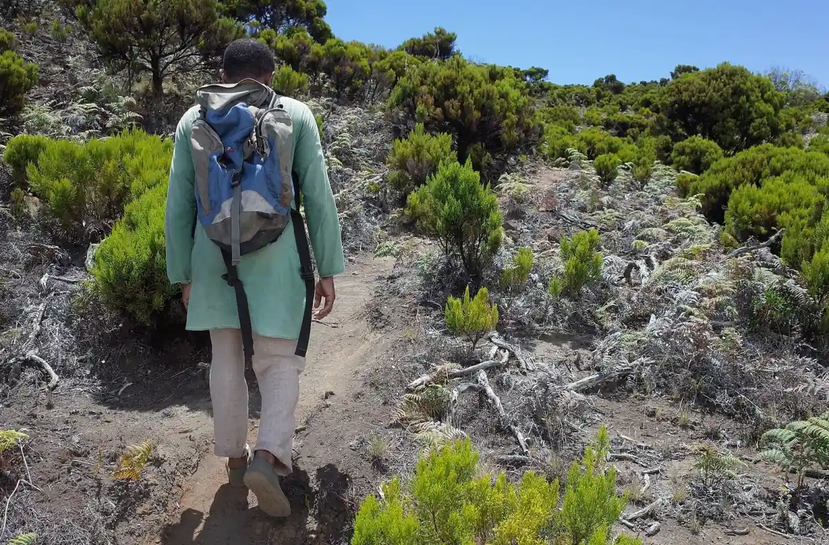
Guided Mount Karthala hike
If your dates allow it, a guided hike with a local guide and hotel pickup saves you organising the volcano climb yourself. Ask the operator what is planned for the weather on the day.
Moroni weather: a historic table
Moroni station, data submitted to the WMO on 24 November 2001.
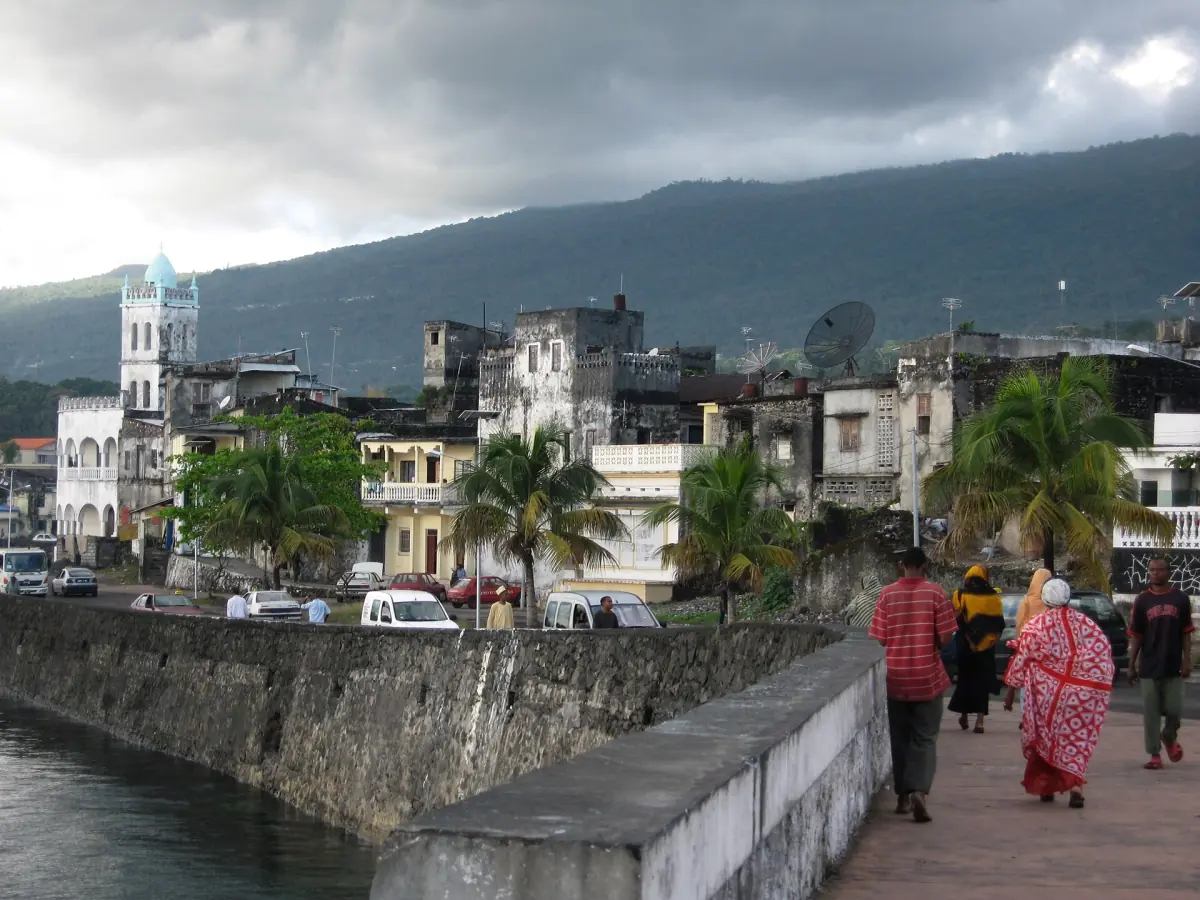
The only full table we could verify comes from the World Meteorological Organization's weather information service. It dates from 2001 and gives no reference period, so treat it as a historic order of magnitude, not a current normal or a forecast. It describes the coast at Moroni, not every island.
January to April
Highs of 30.4 to 30.8 °C, lows of 22.6 to 23.4 °C. Monthly rainfall runs from 279 to 364 mm, the highest in the table.
May to July
Highs of 27.7 to 29.5 °C, lows of 18.8 to 21.2 °C, with 244 to 266 mm of rain a month. Nights are cooler than early in the year.
August to October
Highs of 27.7 to 29.1 °C, lows of 18.4 to 20.3 °C. These are the driest months in the table: 150 mm in August, 108 mm in September and 97 mm in October.
November and December
Highs of 30.3 to 30.8 °C, lows of 21.6 to 22.6 °C. November is still dry in the table (108 mm), while December rises to 219 mm.
Cyclones and sea conditions to check before you go
Weather matters most for crossings and for time at altitude.
The UK Foreign Office says cyclones can affect the Comoros from January to May. Check local weather warnings before you leave and before any crossing between the islands. For sea links, read our getting there page, which repeats the warnings about small boats.
For Karthala, none of the sources we read gives a "safe" window by month. A hike depends on the route, the operator and the state of the volcano. The Mount Karthala page sets out those caveats. For the beach, we have no recent current or water-quality data, so the Comoros beaches page stays cautious about swimming.
On Moheli, the conservation group AIDE reported in 2023 a strong turtle nesting period from April to June. No sighting is guaranteed in any month. The Moheli page has the background.
Plan the next step
Pages to read once you have picked your dates.
Comoros climate: frequently asked questions
When is the rainy season in the Comoros?
ONTC gives November to May and Spain's foreign ministry November to April. May is a transition month and can still be wet.
Are there cyclones in the Comoros?
The UK Foreign Office says cyclones are possible from January to May. Follow local warnings before departure and before any crossing.
Is the Moroni weather table recent?
No. The figures were submitted in 2001 and carry no reference period. They give an order of magnitude for Moroni, not a forecast or a value for Karthala.
When can you see turtles on Moheli?
AIDE described a strong nesting period from April to June in 2023. No sighting is guaranteed.
Can you hike Karthala all year?
We found no general rule. It depends on the route, the operator and the state of the volcano, so ask a local guide before you book.